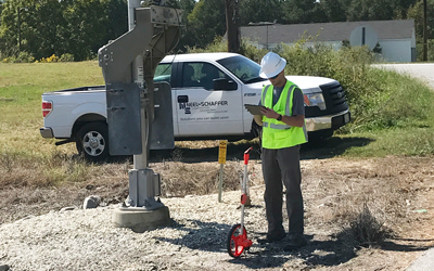


Neel-Schaffer provides survey services through in-house staff in several locations, and through subsidiary firm Maptech, Inc.
Maptech President Chris Pesnell, PS, has nearly 30 years of experience in the surveying and mapping field.
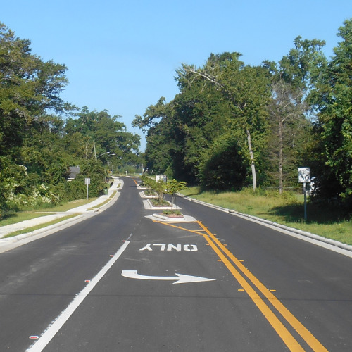
Surveying is the art and science of obtaining and determining data relating to the physical characteristics of the earth, and may be divided into classes according to the type of data obtained, the methods and instruments used and the purposes for which the information is to serve.
We can handle any and all surveying needs, including:
- Area surveys
- Boundary surveys
- Cadastral surveys
- Construction surveys
- Control surveys
- Engineering design surveys
- Geodetic control surveys
- Hydrographic surveys
- Retracement surveys
- Judicial, land and location surveys
- Route, quantity and subdivision surveys
- Topographic and planimetric surveys
- Ground-based LiDAR
- Aerial LiDAR
- Mobile LiDAR