BRANDON, MS
Real-time information provided by drone helps decrease delays
Neel-Schaffer was contracted by the City of Brandon to provide traffic and parking monitoring for six events at the new Brandon Amphitheater.
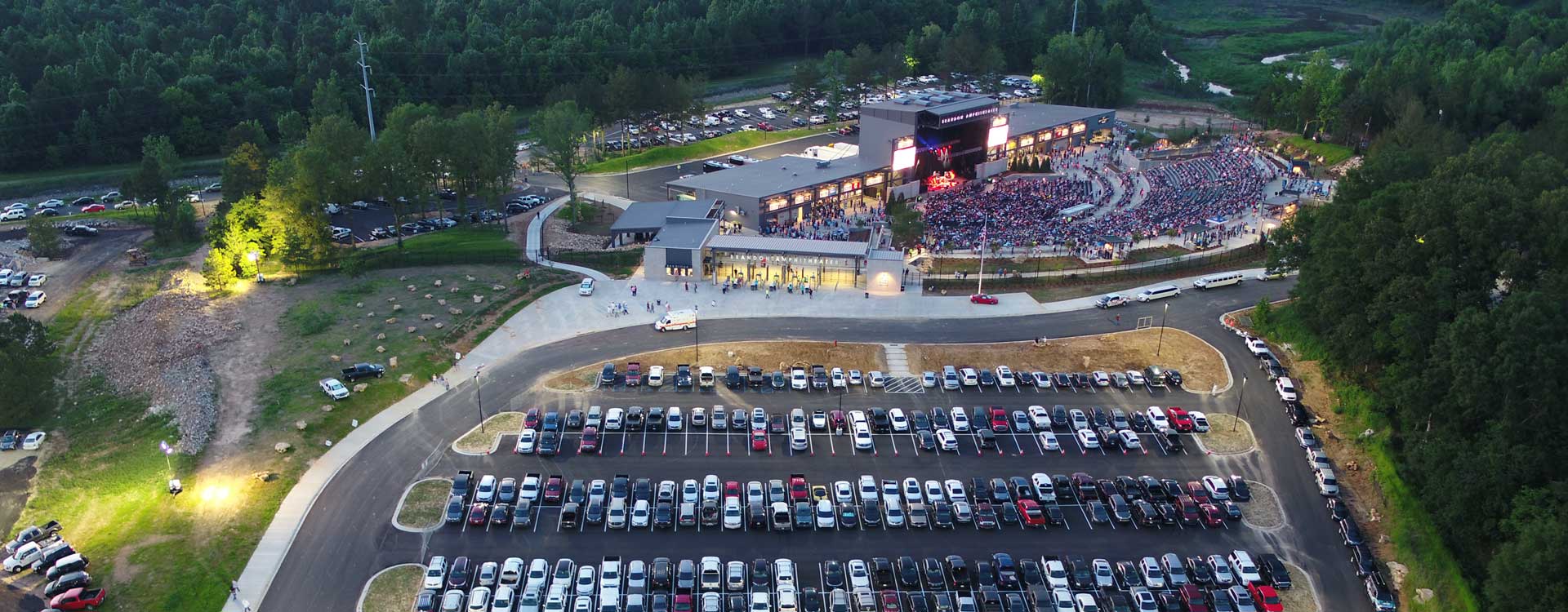
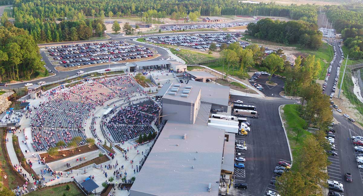
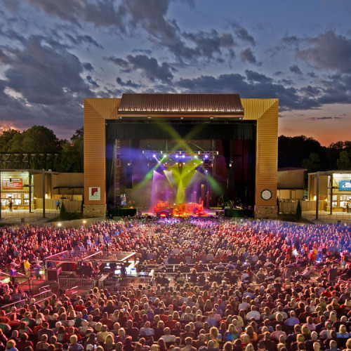
The amphitheater, designed by Neel-Schaffer, opened on April 18, 2018, with country music head-liner Chris Young. Using a drone and fixed video cameras at key intersections, Neel-Schaffer provided traffic and parking monitoring and analysis for the opening night concert.
The City was pleased with the information Neel-Schaffer provided from opening night and contracted with the firm to provide the same services for five more concerts over the next three months.
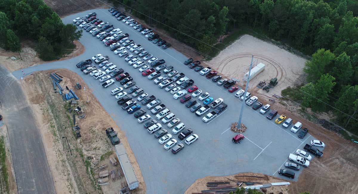
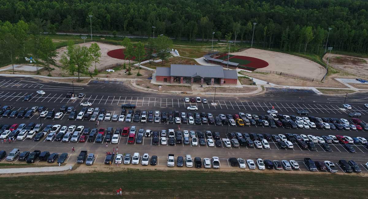
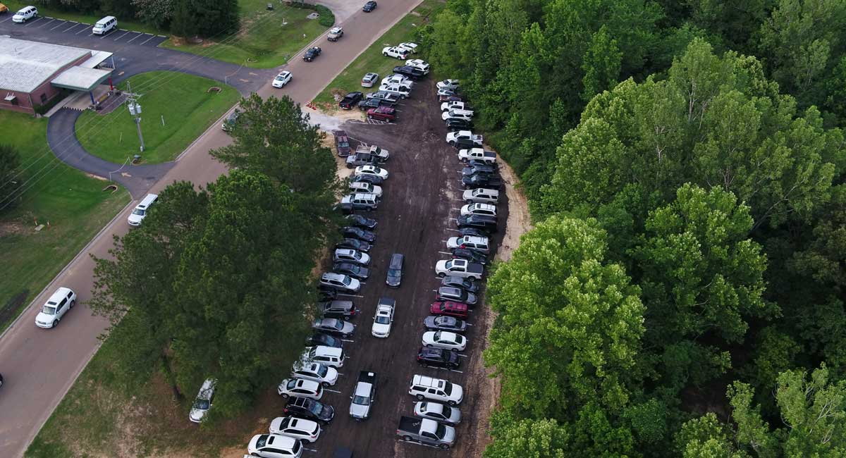
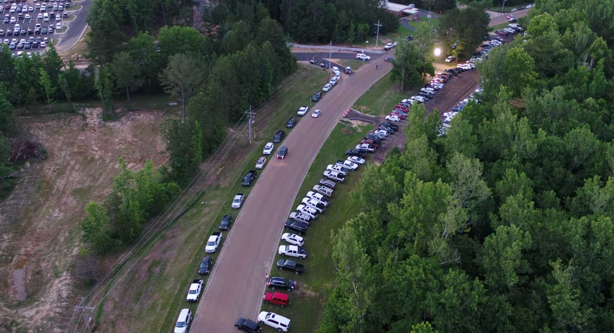
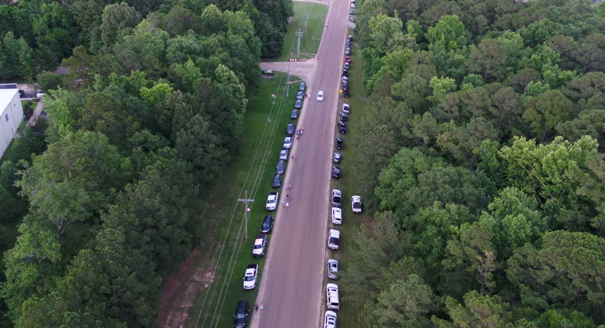
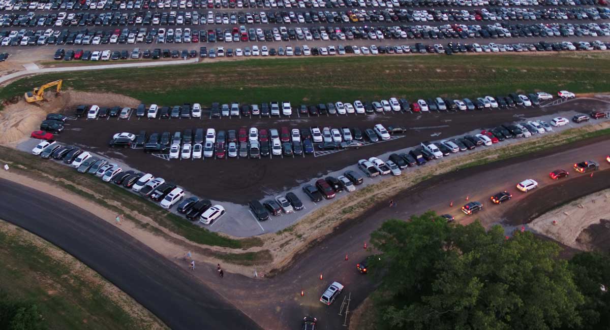
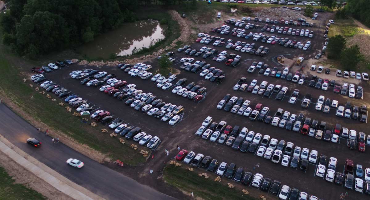
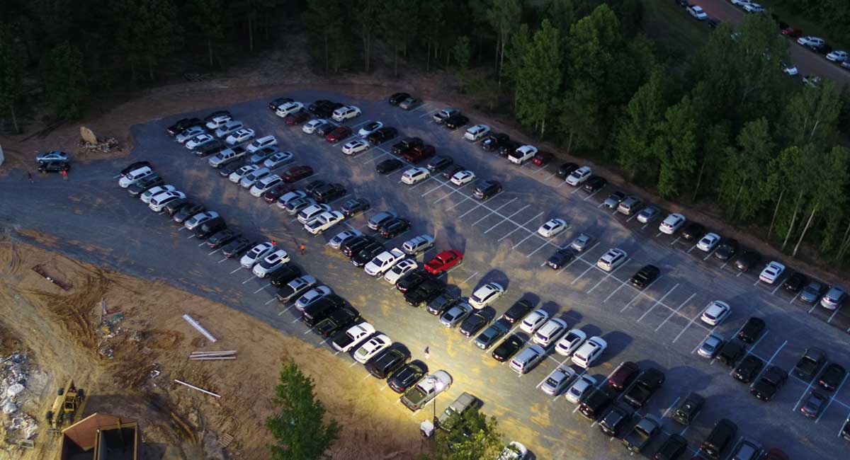
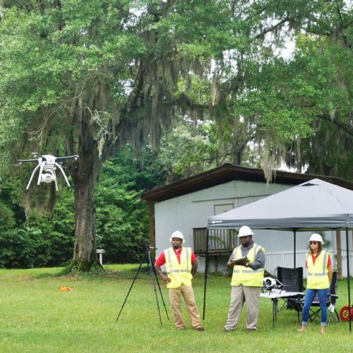
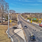
For subsequent concerts, in addition to collecting data for parking and traffic studies, Neel-Schaffer used its drone to help the City of Brandon Police Department direct arriving vehicles to open parking spots before a concert. Using the drone to help direct parking helped traffic and parking flow much more smoothly. One engineer watched the drone view and communicated with Amphitheater staff via cell phone to identify the percentage occupancy of each of the six parking lots as traffic arrived. As traffic was observed backing up into the adjacent interstate, he relayed the extent of the traffic queue, and the Brandon police then closed the primary route into the Amphitheater and routed traffic to the south, to a secondary route, to decrease the delays/impacts to I-20.
Neel-Schaffer engineers and the Neel-Schaffer drone pilot documented the inefficiencies and captured valuable aerial photography and video footage. Due to FAA limitations, the drone cannot fly after the end of civil twilight, so ground video footage was acquired with a windshield mounted camera after the concert started, while mounted traffic cameras documented the arrival and departure of concert traffic.
In addition to our traffic and parking reports, Neel-Schaffer provided the City with an external hard drive with footage from each of the cameras from intersections, from the vehicle dashboard camera, and the drone photographs, so City officials could view the intersection inefficiencies, conflicts, and congestion, as well as see how inefficiently the parking was in aggregate lots with no striping.
Data collected from the drone and from the mounted cameras were later processed and reported to the City. The reports identified the total number of cars parked in lots and on streets, pedestrian volumes, major congestion points, suggestions for improved ingress/egress options, and locations of Uber/Lyft pickup/drop-off points.
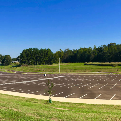
The outcome of this work has been modifications to police operated signal phasing, implementation of contra-flow lanes for improved efficiency for egress traffic, temporary striping added to parking lots, additional signage/variable message board use, use of temporary/portable lighting in high pedestrian areas, and more concerts to study.

