


Master Planning and Project Visualization
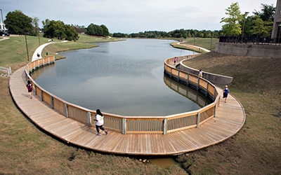
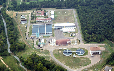
Neel-Schaffer’s multi-disciplined planning team assists clients with a wide range of planning and funding needs. From community planning to trails and greenways, our planning services are supported by our strengths in multi-modal transportation, allowing us to focus on access and improve connectivity, safety, and efficiency. Other specialized planning expertise includes Airport, Utilities, Stormwater, Solid Waste, and Telecommunications Planning services that help foster a “Complete Communities” outlook.
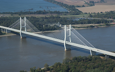
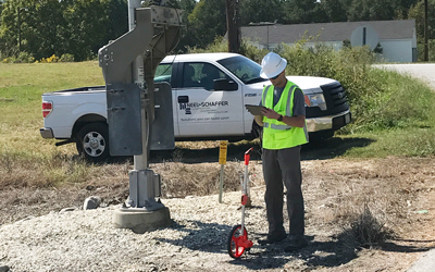
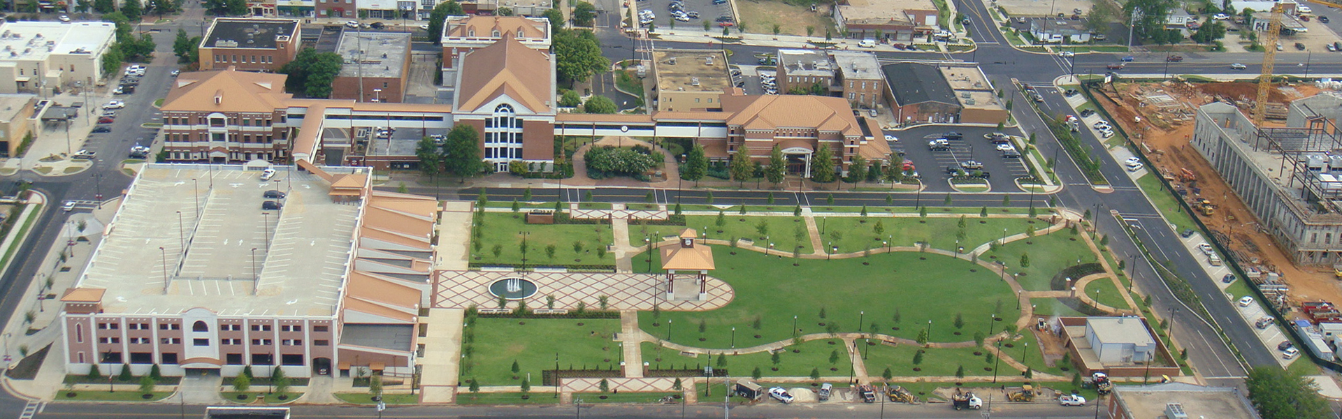
To effectively study our communities and the interdependencies of services and support systems, we utilize Geographic Information Systems (GIS) to create relevant layers of information needed to understand these relationships. 3-D visualization tools enhanced by drone photography enable our graphics design team to create animated project videos and fly-throughs, before and after photo simulations, and 3-D presentation materials that depict the project scale and design features.
Services
- Comprehensive Master Plans
- Trail Master Plans
- Sidewalk, Bikeway, and Greenway Master Plans
- Roadway Connectivity Plans
- Funding Strategies
- 3-D Visualization Graphics